FableFive: David Smith, creator of Mapping the World by Heart

“When our children leave our classrooms, we need to make sure they have a sense of their own community, and also an appreciation of everyone else's,” explains David Smith, creator of Mapping the World By Heart.
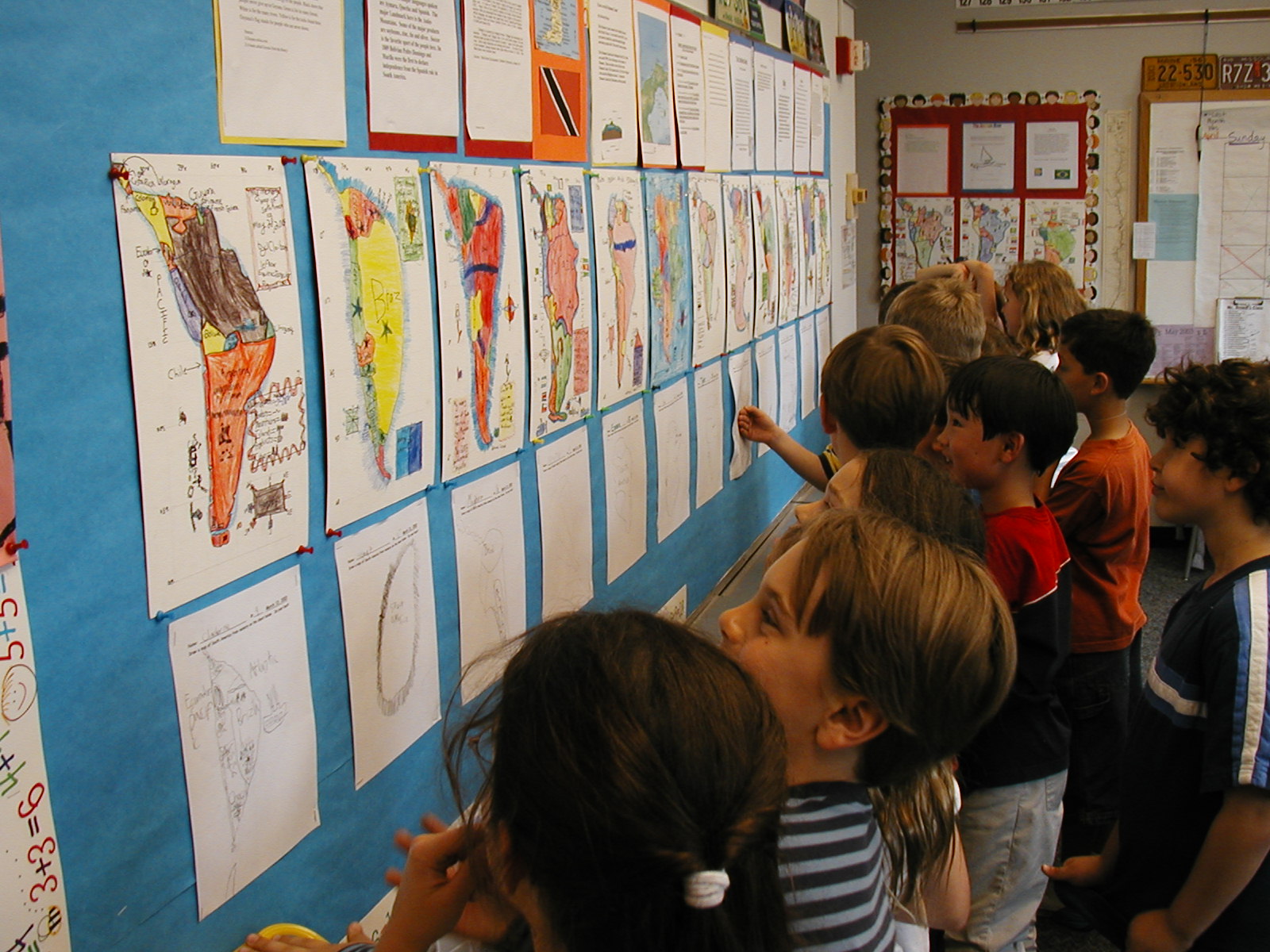
His award-winning geography curriculum gives students a means to picture the world beyond shapes on a page. Mapping the World by Heart provides a way to bring the world closer, because we can’t all travel the globe, but we can take steps to learn more about it.
David was a classroom teacher with over 25 years' experience teaching English, geography, and social studies in grades 4-12 and used that experience of teaching 7th graders to draw maps of the entire world from memory, to create his highly successful curriculum, Mapping the World by Heart.
When it was first released, Mapping the World by Heart was awarded the “Breaking the Mold,” by the U.S. Department of Education and to match the ever-changing world, David has revised the curriculum nine times since.
David is a full-time consultant, providing lectures and workshops on geography and global issues, and on IT issues, to teachers, parents, student groups, and others in the United States, Europe, Africa, South America, Australia, and Asia.
For this FableFive post, we connected with David to learn more about Mapping the World By Heart and the stories from the journey.


How did you connect the dots with FableVision Learning?
When Mapping the World By Heart was first published in 1992 by Tom Snyder Productions, Peter Reynolds did the illustrations and we became friends; when Tom Snyder was bought by Scholastic and MTWBH needed a new publisher, I called Peter (H. Reynolds) and he jumped at the chance to publish it. He’s done some new illustrations, and helped with all the prepress issues.
Can you share the story behind the creation and development of Mapping the World by Heart?

My grade 7 students in Cambridge, MA were sadly unaware of world geography, or even local geography. I didn’t want to send them onto their next teachers without helping them master at least some human geography and locations.
You speak regularly at schools in the US and Canada, can you share a few highlights from these visits?
I’m always happy when kids know my books, and have questions about them – and some of the questions are very common, such as “where did you get the idea for…” or “do you have to revise often”, but some questions can be surprising; “do the details about children living in hunger make you sad”, “how many countries have you visited”, and sometimes “how old are you."


Where do you see Mapping the World by Heart’s place in the classroom?
I don’t see it as necessarily the central activity for a classroom for the year, but as a very useful tool. If a class is studying US or Canadian history, or Asian languages or cultures, or European history, then mapping that region by heart can be useful for so much of what students will learn – the thing that is easy to forget is that history actual always happens somewhere. And knowing the human and political geography of a place can help a student understand what happened there.
Do you have any Mapping the World by Heart stories to share?

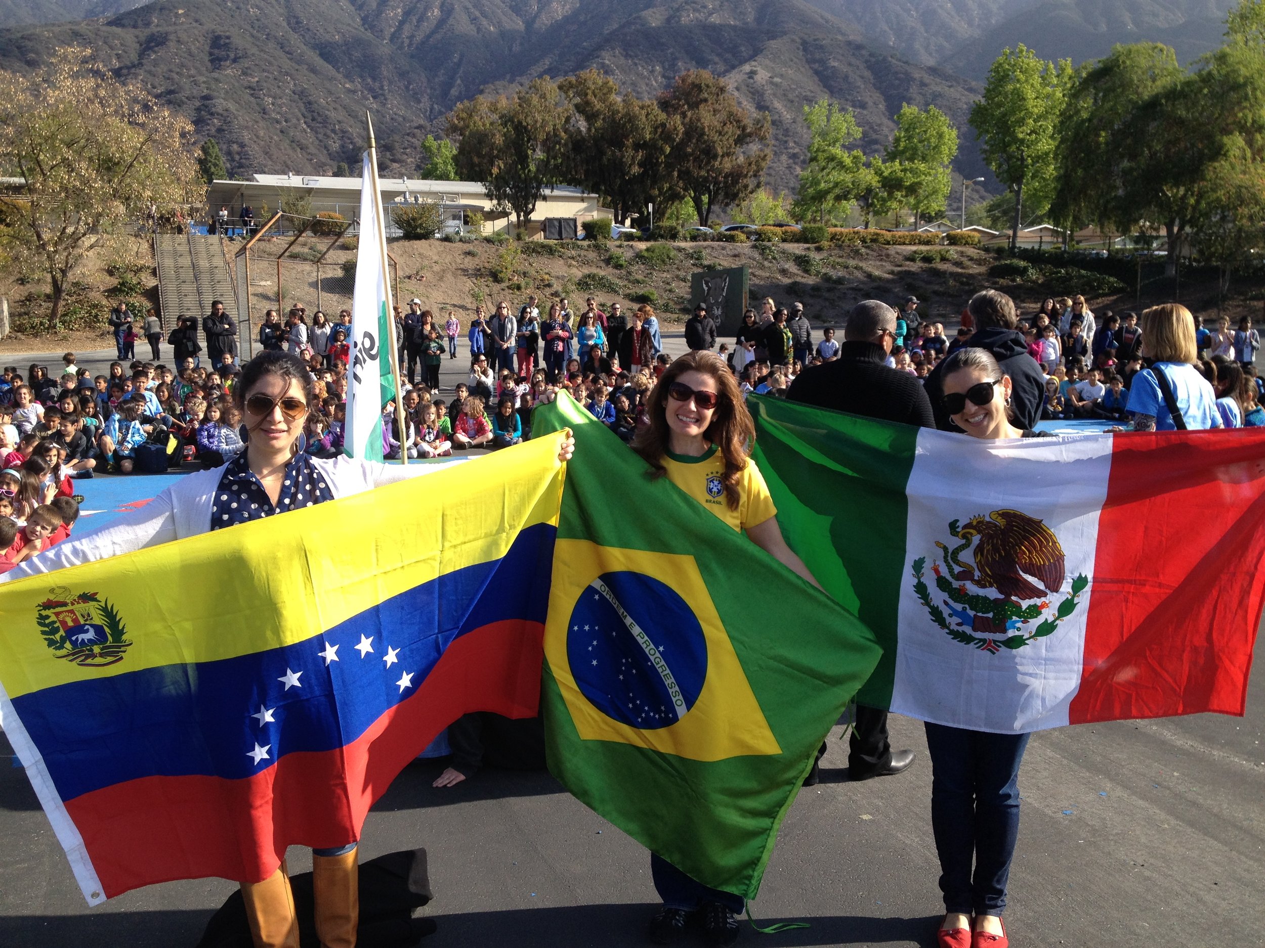
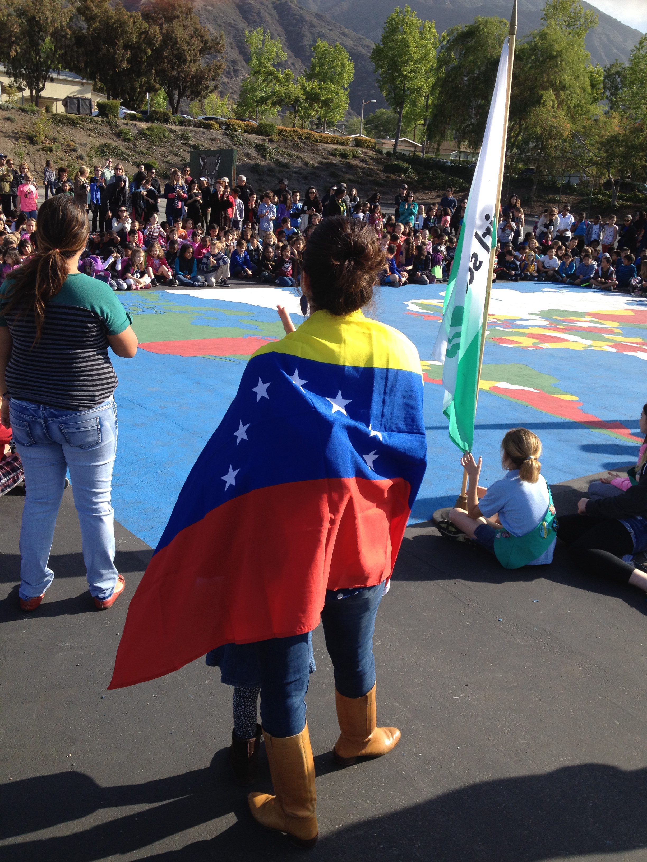
I’ve visited schools in 56 countries. At 10 of these schools, I’ve helped students prepare an outdoor playground map – of their country, their continent, or the world. At the International School of Windhoek, Namibia, the students created a map of Namibia in the entryway of the school; at the International School of Geneva, the youngest students, with their teachers and parents, created a world map in the main door to the playground – every time a student passes through that door, they have a chance to check out the world. The point is that the curriculum isn’t just about memorization, but it’s aimed at getting students to think about the world, about the world’s people and places.
Curious about how other schools are using Mapping the World by Heart? Check out these other posts!